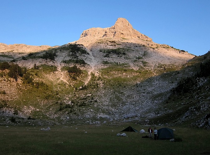
Yes, I have GPS waypoint for the summit (see here). This was 2581 meter. I have a track waypoint 2586 meter. Meanwhile, I know of two other hikers who recorded 2585 and 2579 meter.
The "official height" is 2569 meter, which I indicated in the description as I thought my Garmin was not recording right. Now it appears that the official height is a bit off, and the summit might indeed be around 2585 meter or so.
Thanks for the information. Indeed the height of Popluks seems to be higher, for example here (http://www.psd-prokletije.org/pd_prokletije/1/2009-10-07_maja_popluk/source/52.htm) PSD Prokletije recorded the height of the main summit to be 2594m/asl. There seem to many errors in the heights of many Prokletije summits. I dont want to bother you much longer but was there any other peaks in Albania (Prokletije or Korab) that had different eights according to ur GPS?
There will always be variations in GPS recordings, also depending on whether a GPS records altitude according to atmospheric pressure or based on satellite. Most GPS devices can be calibrated, as long as you know the exact altitude of your present location.
Even when you have calibrated the GPS device in the morning, it can go slightly off in case of major changes in weather during the day.
2594 seems to me to be slightly too high for Popluks!


Kommentare (4)